9,7 km | 12,2 km-effort
les moulins?
GILOU440
Utilisateur
Longueur
12,4 km
Altitude max
1141 m
Dénivelé positif
288 m
Km-Effort
16,3 km
Altitude min
1007 m
Dénivelé négatif
290 m
Boucle
Oui
Date de création :
2022-06-13 07:23:35.177
Dernière modification :
2022-06-13 15:49:19.316
3h30
Difficulté : Difficile
Application GPS de randonnée GRATUITE
À propos
Randonnée Marche de 12,4 km à découvrir à Occitanie, Lozère, Peyre en Aubrac. Cette randonnée est proposée par GILOU440.
Description
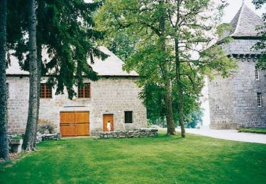
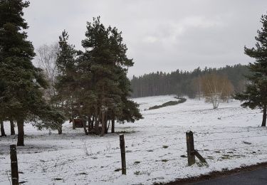
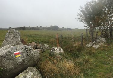
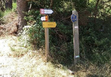
pour les moulins, pas vu grand chose.
les sentiers sont sympathiques.
Localisation
Pays :
France
Région :
Occitanie
Département/Province :
Lozère
Commune :
Peyre en Aubrac
Localité :
Unknown
Départ:(Dec)
Départ:(UTM)
517642 ; 4955099 (31T) N.
Commentaires
Randonnées à proximité
Étape 1 Saint Gilhem
Marche
Très difficile
Peyre en Aubrac,
Occitanie,
Lozère,
France
17,1 km | 21 km-effort
4h 48min
Non
Mon chemin de St Guilhem étape 1
Marche
Moyen
Peyre en Aubrac,
Occitanie,
Lozère,
France
17,2 km | 21 km-effort
4h 12min
Non
Etape05_1 - Aumont - Lasbros par le chemin
A pied
Très facile
(1)
Peyre en Aubrac,
Occitanie,
Lozère,
France
6,8 km | 8,2 km-effort
Inconnu
Non
grandtourAubrac sans waypoints
Randonnée équestre
Très difficile
Peyre en Aubrac,
Occitanie,
Lozère,
France
138 km | 179 km-effort
22h 12min
Oui
GrandTourDaubrac
Randonnée équestre
Très facile
Peyre en Aubrac,
Occitanie,
Lozère,
France
139 km | 180 km-effort
Inconnu
Oui
Aumont Aubrac / Le Py auberge les gentianes
Marche
Facile
Peyre en Aubrac,
Occitanie,
Lozère,
France
15,6 km | 19,3 km-effort
4h 9min
Non
Aumont Aubrac - Nasbinal
Marche
Facile
Peyre en Aubrac,
Occitanie,
Lozère,
France
29 km | 35 km-effort
7h 17min
Non
aumont aubrac - gilbertes
Marche
Très facile
Peyre en Aubrac,
Occitanie,
Lozère,
France
25 km | 32 km-effort
6h 14min
Non